Col du Galibier.
The Tour de France giant — 2,642 m above the Maurienne and the Briançonnais.
// The story
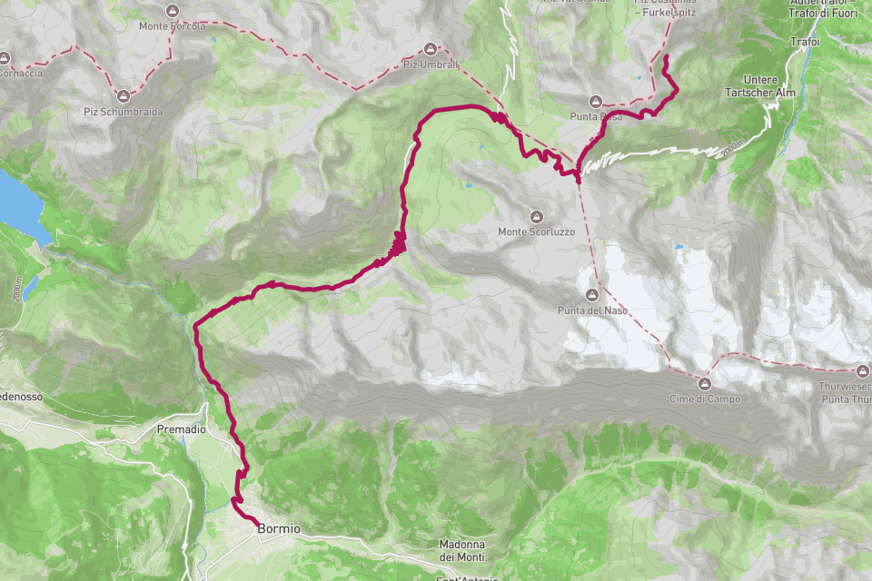
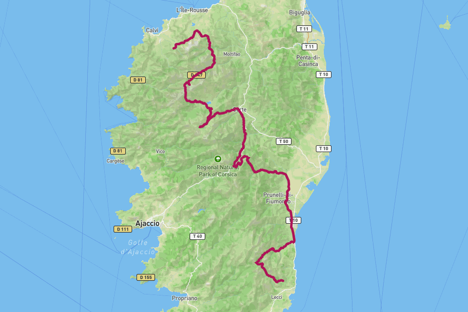
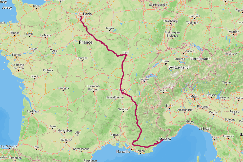
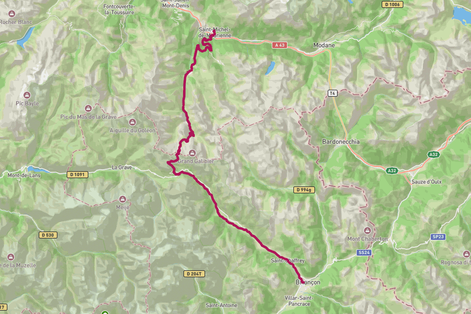
The Col du Galibier tops out at 2,642 metres, the high point that has decided more Tours de France than almost any other pass. Approached from the Maurienne over the Télégraphe, or from the south past the Lautaret, the final kilometres bite at over ten percent with the air thinning and the Meije glittering across the valley. The Henri Desgrange memorial near the summit marks where the race first crossed in 1911. RouteToWall renders your Galibier day as a vector poster — the climb as a single clean line, the elevation profile beneath, and your numbers in the margin.
// How to make this poster
Four steps from your GPS to a print-ready poster.
- Step 01
Import your route
Upload a GPX file, or connect Strava and pick the activity. RouteToWall also reads Google Maps exports.
- Step 02
Choose a template
Pick from minimalist, topographic, panoramic and editorial templates tuned for road, trail, city and roadtrip.
- Step 03
Customize
Set colours, typography, titles and stats, and annotate cols, refuges or landmarks.
- Step 04
Export or print
Download a high-resolution file, or order a museum-grade print up to A1, shipped to your door.
// Templates
Three handpicked templates, ready for your GPX.
// Frequently asked
Q.01Télégraphe + Galibier on one poster?
Yes — upload the full GPX and both climbs render as one continuous line, the way you rode them back to back.