Stelvio Pass.
Passo dello Stelvio — 48 hairpins to 2,757 m, the cathedral of road cycling.
// The story
The Passo dello Stelvio is the highest paved mountain pass in the Eastern Alps at 2,757 metres, and the most mythologised climb in cycling. From Prato allo Stelvio the road stacks 48 numbered hairpins against the mountain in a switchback wall that looks unreal from above — the single most photographed sight in the sport. Coppi attacked here, the Giro d'Italia crowns its Cima Coppi here, and every summer thousands of amateurs grind up to say they did it. RouteToWall turns the GPS of your Stelvio day into a clean vector poster — the full ribbon of hairpins, the elevation profile, and your time under the summit sign.
// How to make this poster
Four steps from your GPS to a print-ready poster.
- Step 01
Import your route
Upload a GPX file, or connect Strava and pick the activity. RouteToWall also reads Google Maps exports.
- Step 02
Choose a template
Pick from minimalist, topographic, panoramic and editorial templates tuned for road, trail, city and roadtrip.
- Step 03
Customize
Set colours, typography, titles and stats, and annotate cols, refuges or landmarks.
- Step 04
Export or print
Download a high-resolution file, or order a museum-grade print up to A1, shipped to your door.
// Templates
Three handpicked templates, ready for your GPX.
// Frequently asked
Q.01Which side of the Stelvio is on the poster?
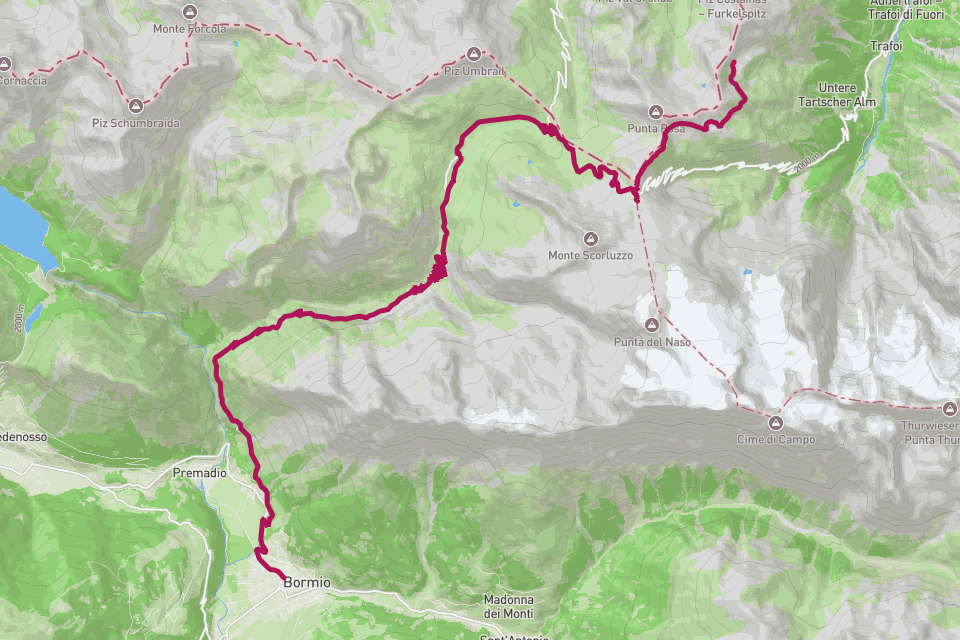
Whichever you rode — RouteToWall reads your GPX, so the Prato (48 hairpins), Bormio, or Umbrail side all render exactly as you climbed them.
Q.02Best format for the hairpins?
A vertical A3 or A2. The switchback stack is tall and narrow, so portrait orientation shows every hairpin.